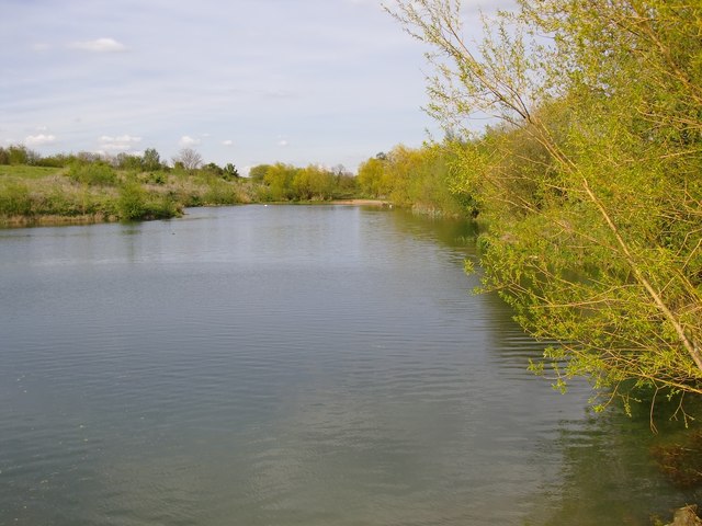
Gravel pit scenery, Molesey Heath
Introduction
The photograph on this page of Gravel pit scenery, Molesey Heath by Stefan Czapski as part of the Geograph project.
The Geograph project started in 2005 with the aim of publishing, organising and preserving representative images for every square kilometre of Great Britain, Ireland and the Isle of Man.
There are currently over 7.5m images from over 14,400 individuals and you can help contribute to the project by visiting https://www.geograph.org.uk

Image: © Stefan Czapski Taken: 30 Apr 2012
Not so long ago this gravel pit was much larger. While Google Earth shows the present extent of the pit, OS maps currently available are in need of revision. This is a view northwards from the southern end of the pit. The course of the River Mole lies a little to the east, and beyond that, Island Barn Reservoir. Molesey Heath may once have been genuine heathland, but these days is a patchwork of old, flooded gravel pits and reclaimed land.

