Field at Nidd
Introduction
The photograph on this page of Field at Nidd by Derek Harper as part of the Geograph project.
The Geograph project started in 2005 with the aim of publishing, organising and preserving representative images for every square kilometre of Great Britain, Ireland and the Isle of Man.

There are currently over 7.5m images from over 14,400 individuals and you can help contribute to the project by visiting https://www.geograph.org.uk
Field at Nidd
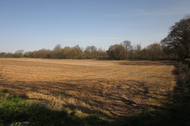
Image: © Derek Harper Taken: 1 Apr 2012
Looking to the right from the point where Image was taken. The course of the former Harrogate to Ripon railway is indicated by the trees along the far side of this arable field which awaits ploughing.
Images are licensed for reuse under creativecommons.org/licenses/by-sa/2.0
Image Location
Latitude
54.03629
Longitude
-1.544963