Viverdon Down
Introduction
The photograph on this page of Viverdon Down by Tony Atkin as part of the Geograph project.
The Geograph project started in 2005 with the aim of publishing, organising and preserving representative images for every square kilometre of Great Britain, Ireland and the Isle of Man.

There are currently over 7.5m images from over 14,400 individuals and you can help contribute to the project by visiting https://www.geograph.org.uk
Viverdon Down
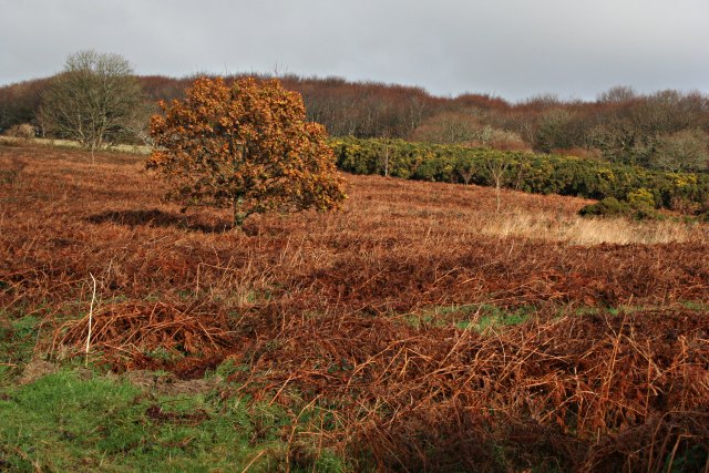
Image: © Tony Atkin Taken: 9 Dec 2006
This is wintertime heathland with the rust colour of the dead bracken leaves and the gorse in the distance not afraid to show some yellow flowers.
Images are licensed for reuse under creativecommons.org/licenses/by-sa/2.0
Image Location


Leaflet Map data © OpenStreetMap
Latitude
50.478709
Longitude
-4.27756