Porthmadog: Y Cyt viewed from a footbridge
Introduction
The photograph on this page of Porthmadog: Y Cyt viewed from a footbridge by Jaggery as part of the Geograph project.
The Geograph project started in 2005 with the aim of publishing, organising and preserving representative images for every square kilometre of Great Britain, Ireland and the Isle of Man.

There are currently over 7.5m images from over 14,400 individuals and you can help contribute to the project by visiting https://www.geograph.org.uk
Porthmadog: Y Cyt viewed from a footbridge
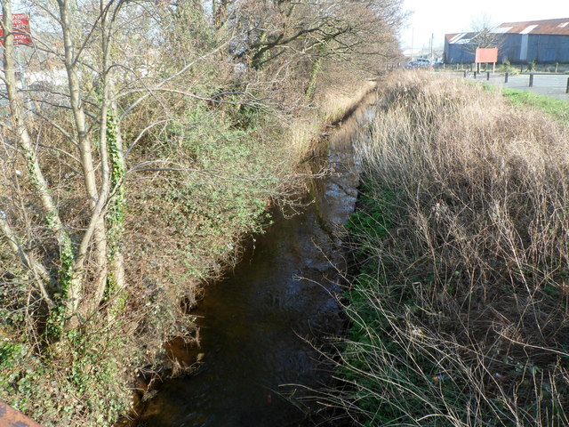
Image: © Jaggery Taken: 23 Mar 2012
A view SE from a footbridge http://www.geograph.org.uk/photo/2908748 along Y Cyt, a drainage channel that was formerly a canal. http://www.geograph.org.uk/photo/399161
Images are licensed for reuse under creativecommons.org/licenses/by-sa/2.0
Image Location
Latitude
52.930126
Longitude
-4.133366