Conduit end
Introduction
The photograph on this page of Conduit end by Peter Turner as part of the Geograph project.
The Geograph project started in 2005 with the aim of publishing, organising and preserving representative images for every square kilometre of Great Britain, Ireland and the Isle of Man.

There are currently over 7.5m images from over 14,400 individuals and you can help contribute to the project by visiting https://www.geograph.org.uk
Conduit end
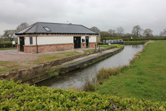
Image: © Peter Turner Taken: 18 Apr 2012
The foreground watercourse is not the canal proper but where water from the Bosley Reservoir via open conduit would seem to enter the canal system.
Images are licensed for reuse under creativecommons.org/licenses/by-sa/2.0
Image Location
Latitude
53.199901
Longitude
-2.143069