Hardwick Manor drive and parkland
Introduction
The photograph on this page of Hardwick Manor drive and parkland by Bob Jones as part of the Geograph project.
The Geograph project started in 2005 with the aim of publishing, organising and preserving representative images for every square kilometre of Great Britain, Ireland and the Isle of Man.

There are currently over 7.5m images from over 14,400 individuals and you can help contribute to the project by visiting https://www.geograph.org.uk
Hardwick Manor drive and parkland
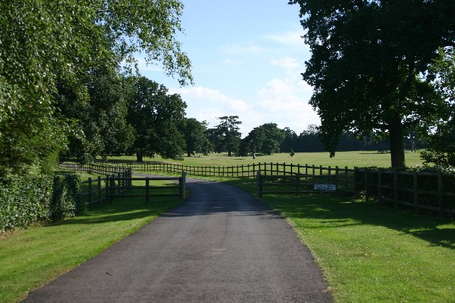
Image: © Bob Jones Taken: 20 Jul 2005
The driveway leads off from the end of Sharp Road, the 'posh' part of Bury St Edmunds.
Images are licensed for reuse under creativecommons.org/licenses/by-sa/2.0
Image Location
Latitude
52.230614
Longitude
0.703107