Farmland near Upton Cross
Introduction
The photograph on this page of Farmland near Upton Cross by Eric Foster as part of the Geograph project.
The Geograph project started in 2005 with the aim of publishing, organising and preserving representative images for every square kilometre of Great Britain, Ireland and the Isle of Man.

There are currently over 7.5m images from over 14,400 individuals and you can help contribute to the project by visiting https://www.geograph.org.uk
Farmland near Upton Cross
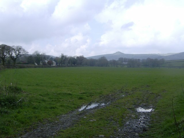
Image: © Eric Foster Taken: 14 Apr 2012
Grazing land near the village of Upton Cross, in the far distance is Sharptor, and the outline of Bodmin Moor.
Images are licensed for reuse under creativecommons.org/licenses/by-sa/2.0
Image Location
Latitude
50.526373
Longitude
-4.424763