Entrance to Pottal Covert
Introduction
The photograph on this page of Entrance to Pottal Covert by John M as part of the Geograph project.
The Geograph project started in 2005 with the aim of publishing, organising and preserving representative images for every square kilometre of Great Britain, Ireland and the Isle of Man.

There are currently over 7.5m images from over 14,400 individuals and you can help contribute to the project by visiting https://www.geograph.org.uk
Entrance to Pottal Covert
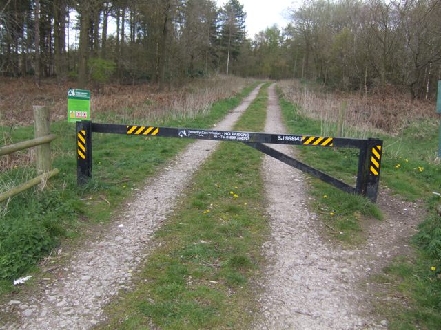
Image: © John M Taken: 15 Apr 2012
The grid reference on the access gates fixes the position for emergency services.
Images are licensed for reuse under creativecommons.org/licenses/by-sa/2.0
Image Location
Latitude
52.726515
Longitude
-2.047192