Huntingdon Close
Introduction
The photograph on this page of Huntingdon Close by Ian Capper as part of the Geograph project.
The Geograph project started in 2005 with the aim of publishing, organising and preserving representative images for every square kilometre of Great Britain, Ireland and the Isle of Man.

There are currently over 7.5m images from over 14,400 individuals and you can help contribute to the project by visiting https://www.geograph.org.uk
Huntingdon Close
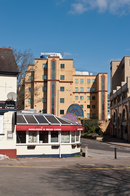
Image: © Ian Capper Taken: 1 Apr 2012
Looking across Huntingdon Close towards St Matthew's Road, with the edge of the Belfry Shopping Centre on the right, 86 Station Road in the background (see Image) and the former Dragon pub on the left.
Images are licensed for reuse under creativecommons.org/licenses/by-sa/2.0
Image Location
Latitude
51.239253
Longitude
-0.170937