Remains of former railway bridge over A449 road, near Hartlebury
Introduction
The photograph on this page of Remains of former railway bridge over A449 road, near Hartlebury by P L Chadwick as part of the Geograph project.
The Geograph project started in 2005 with the aim of publishing, organising and preserving representative images for every square kilometre of Great Britain, Ireland and the Isle of Man.

There are currently over 7.5m images from over 14,400 individuals and you can help contribute to the project by visiting https://www.geograph.org.uk
Remains of former railway bridge over A449 road, near Hartlebury
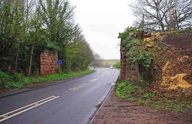
Image: © P L Chadwick Taken: 7 Apr 2012
This partially dismantled bridge over the A449 road (Worcester Road) used to carry the branch railway from Hartlebury to Stourport-on-Severn. In the distance, where the car is, the B4193 road (Rectory Lane) branches off to Hartlebury.
Images are licensed for reuse under creativecommons.org/licenses/by-sa/2.0
Image Location
Latitude
52.344413
Longitude
-2.228655