Waxway House and associated buildings
Introduction
The photograph on this page of Waxway House and associated buildings by David Smith as part of the Geograph project.
The Geograph project started in 2005 with the aim of publishing, organising and preserving representative images for every square kilometre of Great Britain, Ireland and the Isle of Man.

There are currently over 7.5m images from over 14,400 individuals and you can help contribute to the project by visiting https://www.geograph.org.uk
Waxway House and associated buildings
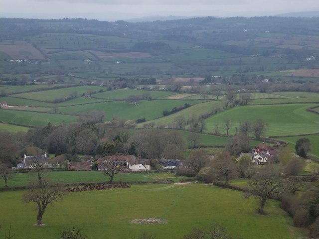
Image: © David Smith Taken: 4 Apr 2012
A view from East Hill into the valley of the River Otter, There are self-catering holiday cottages here.
Images are licensed for reuse under creativecommons.org/licenses/by-sa/2.0
Image Location
Latitude
50.726194
Longitude
-3.261021