Croftamie Farm
Introduction
The photograph on this page of Croftamie Farm by Lairich Rig as part of the Geograph project.
The Geograph project started in 2005 with the aim of publishing, organising and preserving representative images for every square kilometre of Great Britain, Ireland and the Isle of Man.

There are currently over 7.5m images from over 14,400 individuals and you can help contribute to the project by visiting https://www.geograph.org.uk
Croftamie Farm
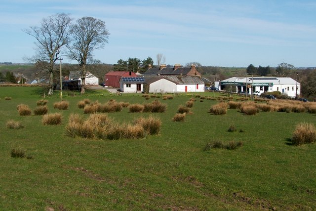
Image: © Lairich Rig Taken: 30 Mar 2012
The red sandstone building behind the farm is Image The building on the right is a branch of Scottish Stove Centre.
Images are licensed for reuse under creativecommons.org/licenses/by-sa/2.0
Image Location


Leaflet Map data © OpenStreetMap
Latitude
56.043101
Longitude
-4.447277