Western Avenue (A40) in the Brent Valley
Introduction
The photograph on this page of Western Avenue (A40) in the Brent Valley by Peter Whatley as part of the Geograph project.
The Geograph project started in 2005 with the aim of publishing, organising and preserving representative images for every square kilometre of Great Britain, Ireland and the Isle of Man.

There are currently over 7.5m images from over 14,400 individuals and you can help contribute to the project by visiting https://www.geograph.org.uk
Western Avenue (A40) in the Brent Valley
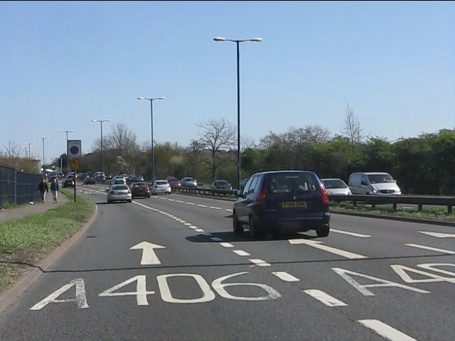
Image: © Peter Whatley Taken: 1 Apr 2012
Lane markings are advance warning for the major junction with the North Circular Road at Hanger Lane.
Images are licensed for reuse under creativecommons.org/licenses/by-sa/2.0
Image Location
Latitude
51.531136
Longitude
-0.305009