Fields near Dulford
Introduction
The photograph on this page of Fields near Dulford by Derek Harper as part of the Geograph project.
The Geograph project started in 2005 with the aim of publishing, organising and preserving representative images for every square kilometre of Great Britain, Ireland and the Isle of Man.

There are currently over 7.5m images from over 14,400 individuals and you can help contribute to the project by visiting https://www.geograph.org.uk
Fields near Dulford
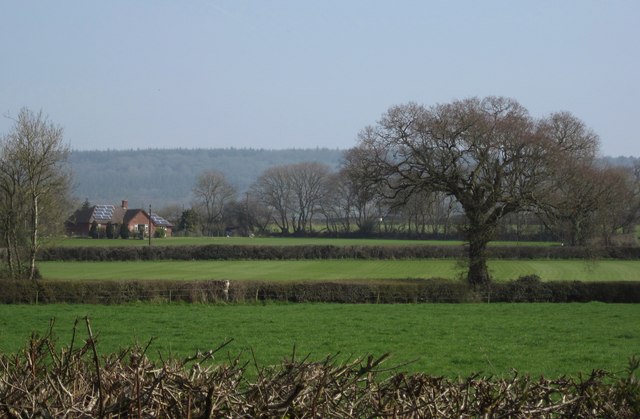
Image: © Derek Harper Taken: 24 Mar 2012
Looking across field boundaries from the road shown in Image The second field boundary marks the course of the A373. The house on the left has gone for solar panels.
Images are licensed for reuse under creativecommons.org/licenses/by-sa/2.0
Image Location
Latitude
50.842457
Longitude
-3.319405