Rodney Hill, Loxley
Introduction
The photograph on this page of Rodney Hill, Loxley by Alan Murray-Rust as part of the Geograph project.
The Geograph project started in 2005 with the aim of publishing, organising and preserving representative images for every square kilometre of Great Britain, Ireland and the Isle of Man.

There are currently over 7.5m images from over 14,400 individuals and you can help contribute to the project by visiting https://www.geograph.org.uk
Rodney Hill, Loxley
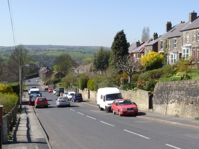
Image: © Alan Murray-Rust Taken: 27 Mar 2012
Looking down towards the green, with the high Pennines on the skyline. The houses to the right mark the first stage, in the early 20th century, of the expansion of Loxley as a suburb of Sheffield. The road was part of the pre-development network.
Images are licensed for reuse under creativecommons.org/licenses/by-sa/2.0
Image Location
Latitude
53.405112
Longitude
-1.537131