Cuttlestone Bridge and the Penk
Introduction
The photograph on this page of Cuttlestone Bridge and the Penk by Richard Law as part of the Geograph project.
The Geograph project started in 2005 with the aim of publishing, organising and preserving representative images for every square kilometre of Great Britain, Ireland and the Isle of Man.

There are currently over 7.5m images from over 14,400 individuals and you can help contribute to the project by visiting https://www.geograph.org.uk
Cuttlestone Bridge and the Penk
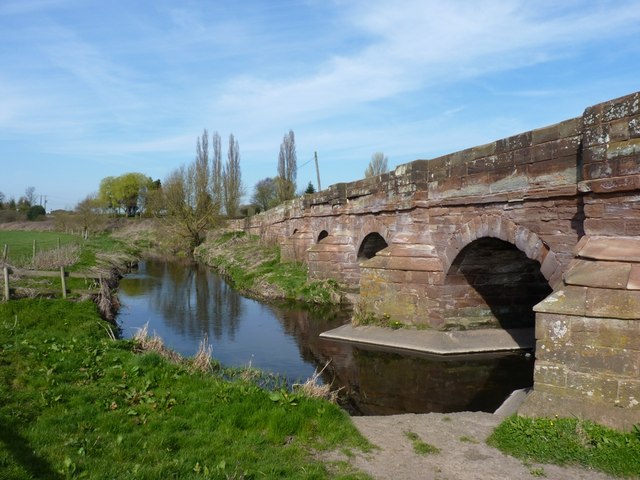
Image: © Richard Law Taken: 25 Mar 2012
The bridge itself is a Gr II listed structure, dating from the 18th century. It's suffered from a few vehicle strikes in recent years, as evidenced by a number of the parapet stones above the centre of the river, which are starting to overhang their original positions.
Images are licensed for reuse under creativecommons.org/licenses/by-sa/2.0
Image Location
Latitude
52.721601
Longitude
-2.12832