Fields at High Littleton
Introduction
The photograph on this page of Fields at High Littleton by Nigel Mykura as part of the Geograph project.
The Geograph project started in 2005 with the aim of publishing, organising and preserving representative images for every square kilometre of Great Britain, Ireland and the Isle of Man.

There are currently over 7.5m images from over 14,400 individuals and you can help contribute to the project by visiting https://www.geograph.org.uk
Fields at High Littleton
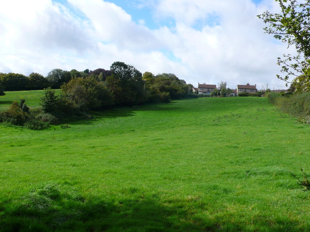
Image: © Nigel Mykura Taken: 18 Sep 2011
This is at the southern end of High Littleton looking up from near Goosard Lane. The houses that can be seen at the top of the hill are on Langfords lane at the very northern edge of the grid square.
Images are licensed for reuse under creativecommons.org/licenses/by-sa/2.0
Image Location
Latitude
51.31947
Longitude
-2.506347