The Frome valley
Introduction
The photograph on this page of The Frome valley by Philip Halling as part of the Geograph project.
The Geograph project started in 2005 with the aim of publishing, organising and preserving representative images for every square kilometre of Great Britain, Ireland and the Isle of Man.

There are currently over 7.5m images from over 14,400 individuals and you can help contribute to the project by visiting https://www.geograph.org.uk
The Frome valley
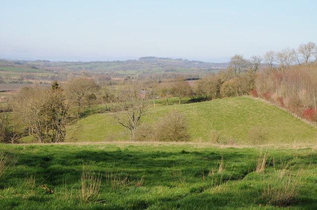
Image: © Philip Halling Taken: 11 Mar 2012
View up the Frome valley from the Herefordshire Trail near Fromes Hill, the Bromyard Downs can be seen in the distance.
Images are licensed for reuse under creativecommons.org/licenses/by-sa/2.0
Image Location
Latitude
52.125099
Longitude
-2.480667