Terraced houses at Feniscowles
Introduction
The photograph on this page of Terraced houses at Feniscowles by Bill Boaden as part of the Geograph project.
The Geograph project started in 2005 with the aim of publishing, organising and preserving representative images for every square kilometre of Great Britain, Ireland and the Isle of Man.

There are currently over 7.5m images from over 14,400 individuals and you can help contribute to the project by visiting https://www.geograph.org.uk
Terraced houses at Feniscowles
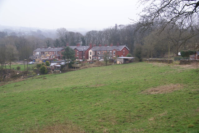
Image: © Bill Boaden Taken: 15 Mar 2012
Looking down from the drive to Hillock Farm. This is the beginning of the Blackburn conurbation from the south west. Through the trees is the chimney of the paper mill, now disused.
Images are licensed for reuse under creativecommons.org/licenses/by-sa/2.0
Image Location
Latitude
53.722403
Longitude
-2.547499