Forgeside Welfare Hall, Blaenavon
Introduction
The photograph on this page of Forgeside Welfare Hall, Blaenavon by Jaggery as part of the Geograph project.
The Geograph project started in 2005 with the aim of publishing, organising and preserving representative images for every square kilometre of Great Britain, Ireland and the Isle of Man.

There are currently over 7.5m images from over 14,400 individuals and you can help contribute to the project by visiting https://www.geograph.org.uk
Forgeside Welfare Hall, Blaenavon
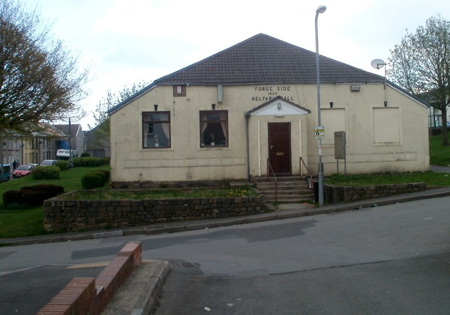
Image: © Jaggery Taken: 15 Apr 2011
The Welfare Hall is located between Martin Terrace and Coity Terrace. The stone inscription on the wall above the doorway shows that hall dates from 1934.
Images are licensed for reuse under creativecommons.org/licenses/by-sa/2.0
Image Location
Latitude
51.770036
Longitude
-3.098459