Approaching Stourscombe
Introduction
The photograph on this page of Approaching Stourscombe by Derek Harper as part of the Geograph project.
The Geograph project started in 2005 with the aim of publishing, organising and preserving representative images for every square kilometre of Great Britain, Ireland and the Isle of Man.

There are currently over 7.5m images from over 14,400 individuals and you can help contribute to the project by visiting https://www.geograph.org.uk
Approaching Stourscombe
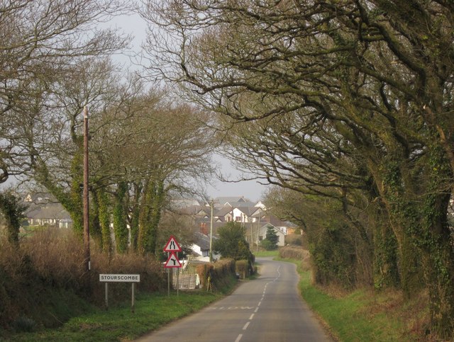
Image: © Derek Harper Taken: 2 Mar 2012
The road from Lawhitton runs through an almost tunnel of trees as it reaches the first buildings of Stourscombe.
Images are licensed for reuse under creativecommons.org/licenses/by-sa/2.0
Image Location
Latitude
50.625402
Longitude
-4.336818