Part of Coed Craig Ruperra woodland
Introduction
The photograph on this page of Part of Coed Craig Ruperra woodland by Jeremy Bolwell as part of the Geograph project.
The Geograph project started in 2005 with the aim of publishing, organising and preserving representative images for every square kilometre of Great Britain, Ireland and the Isle of Man.

There are currently over 7.5m images from over 14,400 individuals and you can help contribute to the project by visiting https://www.geograph.org.uk
Part of Coed Craig Ruperra woodland
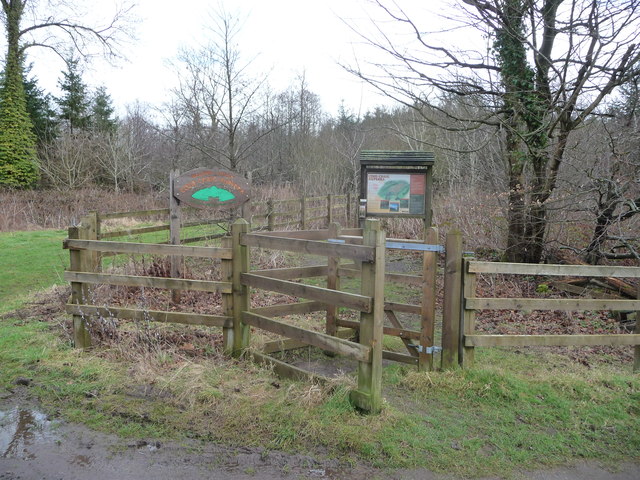
Image: © Jeremy Bolwell Taken: 4 Mar 2012
Trails and paths criss-cross the wooded hill and a gradual process of restoration is underway on the hill to change parts of it from woodland into open grassland.
Images are licensed for reuse under creativecommons.org/licenses/by-sa/2.0
Image Location
Latitude
51.57218
Longitude
-3.131199