Leavening Church
Introduction
The photograph on this page of Leavening Church by Christine Johnstone as part of the Geograph project.
The Geograph project started in 2005 with the aim of publishing, organising and preserving representative images for every square kilometre of Great Britain, Ireland and the Isle of Man.

There are currently over 7.5m images from over 14,400 individuals and you can help contribute to the project by visiting https://www.geograph.org.uk
Leavening Church
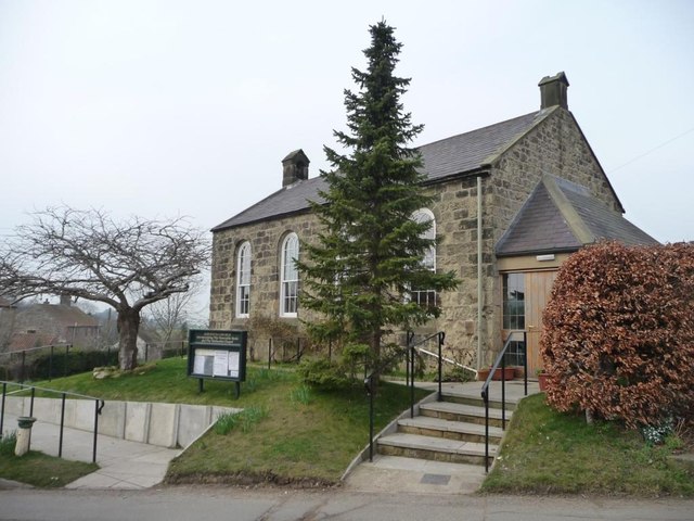
Image: © Christine Johnstone Taken: 2 Mar 2012
Incorporating the Venerable Bede [Anglican] and the Methodist Chapel. Originally the village school, and re-dedicated in 1965. The village's first Methodist chapel was built in the 1820s.
Images are licensed for reuse under creativecommons.org/licenses/by-sa/2.0
Image Location
Latitude
54.057712
Longitude
-0.80319