London Road, Bozeat, looking South
Introduction
The photograph on this page of London Road, Bozeat, looking South by Nigel Stickells as part of the Geograph project.
The Geograph project started in 2005 with the aim of publishing, organising and preserving representative images for every square kilometre of Great Britain, Ireland and the Isle of Man.

There are currently over 7.5m images from over 14,400 individuals and you can help contribute to the project by visiting https://www.geograph.org.uk
London Road, Bozeat, looking South
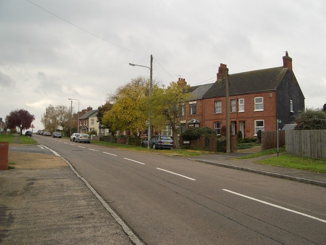
Image: © Nigel Stickells Taken: 15 Nov 2006
This is a view of London Road, Bozeat, looking south. This was a busy main route through the village, including traffic heading between Wellingborough and the M1, until the village was eventually given a bypass that was officially opened on 1st February 1989.
Images are licensed for reuse under creativecommons.org/licenses/by-sa/2.0
Image Location


Leaflet Map data © OpenStreetMap
Latitude
52.218188
Longitude
-0.676708