The inaccessible part of the old railway
Introduction
The photograph on this page of The inaccessible part of the old railway by Richard Law as part of the Geograph project.
The Geograph project started in 2005 with the aim of publishing, organising and preserving representative images for every square kilometre of Great Britain, Ireland and the Isle of Man.

There are currently over 7.5m images from over 14,400 individuals and you can help contribute to the project by visiting https://www.geograph.org.uk
The inaccessible part of the old railway
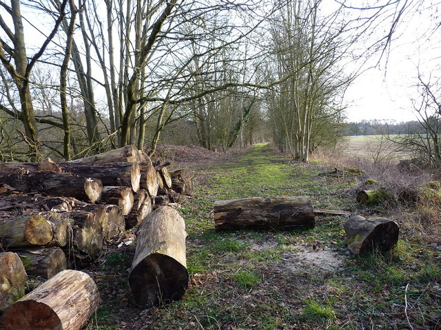
Image: © Richard Law Taken: 26 Feb 2012
The former GWR line north of here, between Coalport and Bridgnorth, has been (unofficially) used for years by walkers, horseriders and cyclists, but was recently opened by the Apley and Willey Estates as part of NCN45. However, this short section leading southwards in the general direction of the golf course remains closed to all; it kind of peters out as it runs into the golf course anyway.
Images are licensed for reuse under creativecommons.org/licenses/by-sa/2.0
Image Location
Latitude
52.555639
Longitude
-2.409843