Blunham weir and gauging station
Introduction
The photograph on this page of Blunham weir and gauging station by Ben Harris as part of the Geograph project.
The Geograph project started in 2005 with the aim of publishing, organising and preserving representative images for every square kilometre of Great Britain, Ireland and the Isle of Man.

There are currently over 7.5m images from over 14,400 individuals and you can help contribute to the project by visiting https://www.geograph.org.uk
Blunham weir and gauging station
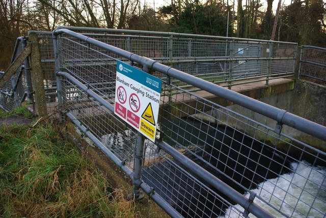
Image: © Ben Harris Taken: 18 Feb 2012
The footbridge here carries a public footpath over the River Ivel. The grid reference on the sign appears to be slightly incorrect.
Images are licensed for reuse under creativecommons.org/licenses/by-sa/2.0
Image Location
Latitude
52.14446
Longitude
-0.316749