Invicta Road
Introduction
The photograph on this page of Invicta Road by Stephen Craven as part of the Geograph project.
The Geograph project started in 2005 with the aim of publishing, organising and preserving representative images for every square kilometre of Great Britain, Ireland and the Isle of Man.

There are currently over 7.5m images from over 14,400 individuals and you can help contribute to the project by visiting https://www.geograph.org.uk
Invicta Road
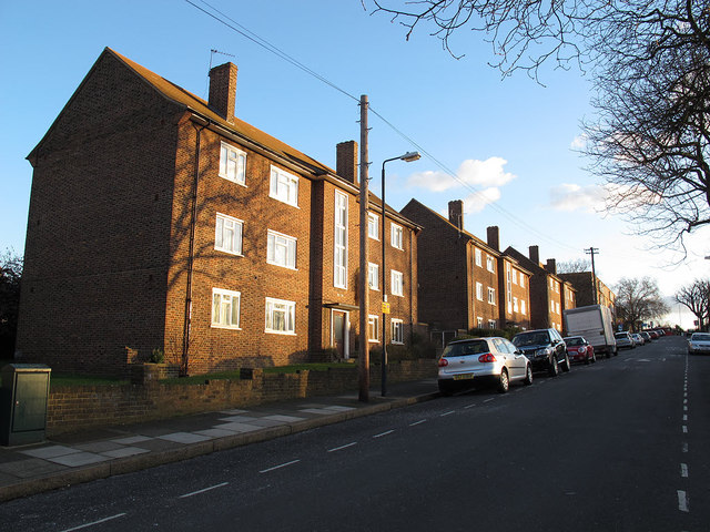
Image: © Stephen Craven Taken: 19 Feb 2012
Houses on Invicta Road in afternoon sunshine. The road itself runs along the top of the Blackheath-Charlton railway tunnel.
Images are licensed for reuse under creativecommons.org/licenses/by-sa/2.0
Image Location
Latitude
51.479475
Longitude
0.021282