2012 : Church Lane, west of Winterbourne
Introduction
The photograph on this page of 2012 : Church Lane, west of Winterbourne by Maurice Pullin as part of the Geograph project.
The Geograph project started in 2005 with the aim of publishing, organising and preserving representative images for every square kilometre of Great Britain, Ireland and the Isle of Man.

There are currently over 7.5m images from over 14,400 individuals and you can help contribute to the project by visiting https://www.geograph.org.uk
2012 : Church Lane, west of Winterbourne
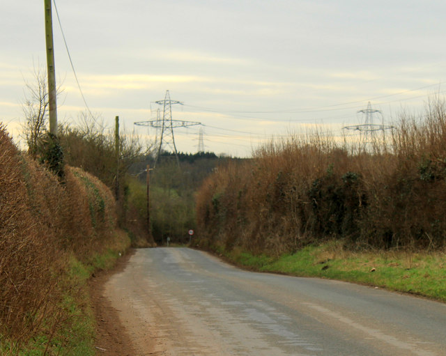
Image: © Maurice Pullin Taken: 16 Feb 2012
Heading south toward the B4057. Makes a pleasant alternative route into Winterbourne. Pylons festoon the horizon.
Images are licensed for reuse under creativecommons.org/licenses/by-sa/2.0
Image Location
Latitude
51.524159
Longitude
-2.518128