Park Road East, Wolverhampton
Introduction
The photograph on this page of Park Road East, Wolverhampton by Roger D Kidd as part of the Geograph project.
The Geograph project started in 2005 with the aim of publishing, organising and preserving representative images for every square kilometre of Great Britain, Ireland and the Isle of Man.

There are currently over 7.5m images from over 14,400 individuals and you can help contribute to the project by visiting https://www.geograph.org.uk
Park Road East, Wolverhampton
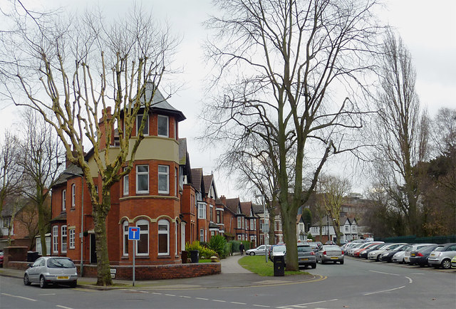
Image: © Roger D Kidd Taken: 14 Feb 2012
This shows the junction with Park Crescent, which leads off to the left and is now a cul-de-sac. West Park is off the image, to the right. Despite the road markings, Park Road East continues off to the right and northwards behind the camera.
Images are licensed for reuse under creativecommons.org/licenses/by-sa/2.0
Image Location
Latitude
52.587708
Longitude
-2.136429