Saint Theresa's Church, Blacon
Introduction
The photograph on this page of Saint Theresa's Church, Blacon by Des Blenkinsopp as part of the Geograph project.
The Geograph project started in 2005 with the aim of publishing, organising and preserving representative images for every square kilometre of Great Britain, Ireland and the Isle of Man.

There are currently over 7.5m images from over 14,400 individuals and you can help contribute to the project by visiting https://www.geograph.org.uk
Saint Theresa's Church, Blacon
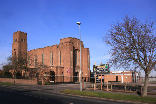
Image: © Des Blenkinsopp Taken: 1 Feb 2012
Catholic church and social club on Blacon Avenue. Blacon is an unusual name. It was Blachehol in the Domesday Book. By 1260 this had morphed into Blackene, and subsequently into Blakenhill.
Images are licensed for reuse under creativecommons.org/licenses/by-sa/2.0
Image Location
Latitude
53.20759
Longitude
-2.918671