Grappenhall Lane
Introduction
The photograph on this page of Grappenhall Lane by Mike Lyne as part of the Geograph project.
The Geograph project started in 2005 with the aim of publishing, organising and preserving representative images for every square kilometre of Great Britain, Ireland and the Isle of Man.

There are currently over 7.5m images from over 14,400 individuals and you can help contribute to the project by visiting https://www.geograph.org.uk
Grappenhall Lane
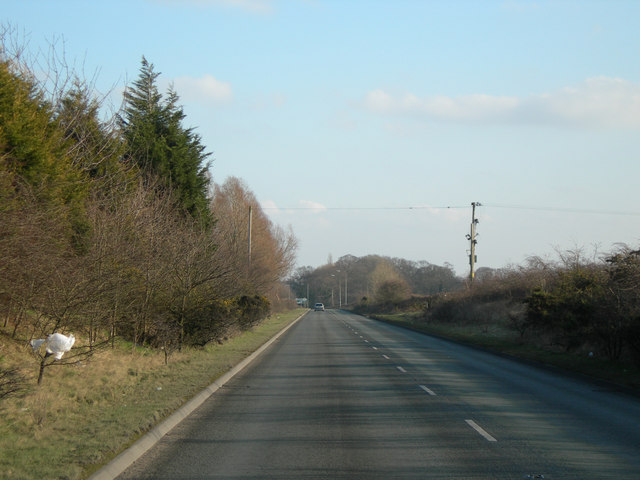
Image: © Mike Lyne Taken: 1 Feb 2012
Unusual for a country road with a national Speed Limit - a really good straight section of road on the B5356 (Grappenhall Lane) between Lymm (J21 of the M6 ahead) and Appleton Thorn.
Images are licensed for reuse under creativecommons.org/licenses/by-sa/2.0
Image Location
Latitude
53.359303
Longitude
-2.519842