New House Farm
Introduction
The photograph on this page of New House Farm by Derek Harper as part of the Geograph project.
The Geograph project started in 2005 with the aim of publishing, organising and preserving representative images for every square kilometre of Great Britain, Ireland and the Isle of Man.

There are currently over 7.5m images from over 14,400 individuals and you can help contribute to the project by visiting https://www.geograph.org.uk
New House Farm
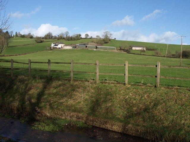
Image: © Derek Harper Taken: 26 Jan 2012
The farm, on the slopes of Combe Hill, seen from the lane north of Combe Raleigh, at the spot where Image was taken, with the stream in the foreground.
Images are licensed for reuse under creativecommons.org/licenses/by-sa/2.0
Image Location
Latitude
50.817896
Longitude
-3.195208