A465 towards Hereford
Introduction
The photograph on this page of A465 towards Hereford by Jonathan Billinger as part of the Geograph project.
The Geograph project started in 2005 with the aim of publishing, organising and preserving representative images for every square kilometre of Great Britain, Ireland and the Isle of Man.

There are currently over 7.5m images from over 14,400 individuals and you can help contribute to the project by visiting https://www.geograph.org.uk
A465 towards Hereford
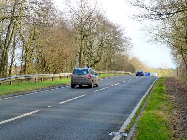
Image: © Jonathan Billinger Taken: 21 Jan 2012
The road follows the southern, Welsh, side of the Monnow valley towards Langua Bridge and the English Border.
Images are licensed for reuse under creativecommons.org/licenses/by-sa/2.0
Image Location
Latitude
51.921664
Longitude
-2.90425