New road layout at Yapton?
Introduction
The photograph on this page of New road layout at Yapton? by Robin Webster as part of the Geograph project.
The Geograph project started in 2005 with the aim of publishing, organising and preserving representative images for every square kilometre of Great Britain, Ireland and the Isle of Man.

There are currently over 7.5m images from over 14,400 individuals and you can help contribute to the project by visiting https://www.geograph.org.uk
New road layout at Yapton?
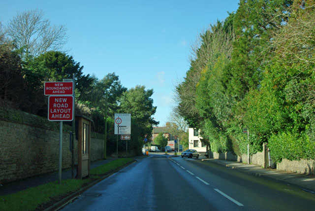
Image: © Robin Webster Taken: 26 Jan 2012
The mini-roundabout ahead has now been there for some years. Either the sign is out of date or there has been some further change too subtle to be noticeable.
Images are licensed for reuse under creativecommons.org/licenses/by-sa/2.0
Image Location
Latitude
50.820927
Longitude
-0.614799