Corseley Road
Introduction
The photograph on this page of Corseley Road by Chris McAuley as part of the Geograph project.
The Geograph project started in 2005 with the aim of publishing, organising and preserving representative images for every square kilometre of Great Britain, Ireland and the Isle of Man.

There are currently over 7.5m images from over 14,400 individuals and you can help contribute to the project by visiting https://www.geograph.org.uk
Corseley Road
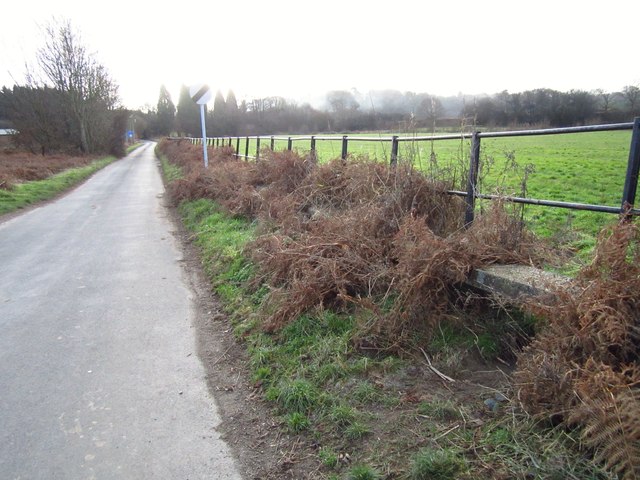
Image: © Chris McAuley Taken: 15 Jan 2012
The area being low level there is properly a chance of flooding, along the edge of the road at this section, below the metal fence, is a concrete ledge, presumably for pedestrians to walk along, although the undergrowth is beginning to hide it from view!
Images are licensed for reuse under creativecommons.org/licenses/by-sa/2.0
Image Location
Latitude
51.106775
Longitude
0.182978