Arable land on Lockwell Hill
Introduction
The photograph on this page of Arable land on Lockwell Hill by Trevor Rickard as part of the Geograph project.
The Geograph project started in 2005 with the aim of publishing, organising and preserving representative images for every square kilometre of Great Britain, Ireland and the Isle of Man.

There are currently over 7.5m images from over 14,400 individuals and you can help contribute to the project by visiting https://www.geograph.org.uk
Arable land on Lockwell Hill
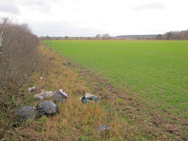
Image: © Trevor Rickard Taken: 7 Jan 2012
Looking west from near the junction of Cockett Road with the A617 Kirklington Road. A dump of rubbish over the hedge from the small lay-by the other side - an all-too-common sight for farmers these days.
Images are licensed for reuse under creativecommons.org/licenses/by-sa/2.0
Image Location
Latitude
53.121261
Longitude
-1.053653