Treorchy Comprehensive School
Introduction
The photograph on this page of Treorchy Comprehensive School by Jaggery as part of the Geograph project.
The Geograph project started in 2005 with the aim of publishing, organising and preserving representative images for every square kilometre of Great Britain, Ireland and the Isle of Man.

There are currently over 7.5m images from over 14,400 individuals and you can help contribute to the project by visiting https://www.geograph.org.uk
Treorchy Comprehensive School
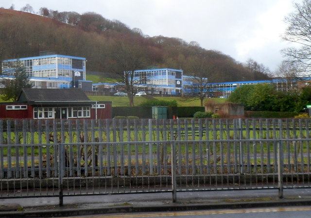
Image: © Jaggery Taken: 23 Jan 2012
A view from the A4061 across a bowling green looking towards the blue buildings of Treorchy Comprehensive School.
Images are licensed for reuse under creativecommons.org/licenses/by-sa/2.0
Image Location
Latitude
51.657558
Longitude
-3.51065