View towards Irchester
Introduction
The photograph on this page of View towards Irchester by Kokai as part of the Geograph project.
The Geograph project started in 2005 with the aim of publishing, organising and preserving representative images for every square kilometre of Great Britain, Ireland and the Isle of Man.

There are currently over 7.5m images from over 14,400 individuals and you can help contribute to the project by visiting https://www.geograph.org.uk
View towards Irchester
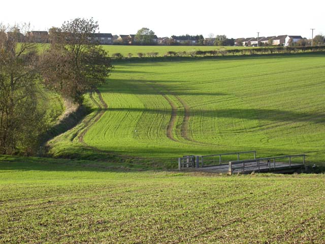
Image: © Kokai Taken: 9 Nov 2006
A relatively new part of the village is visible. The footbridge at the bottom of the slope carries farm machinery, as well as walkers, across the brook.
Images are licensed for reuse under creativecommons.org/licenses/by-sa/2.0
Image Location


Leaflet Map data © OpenStreetMap
Latitude
52.277041
Longitude
-0.633914