Davenport Green, Wilmslow
Introduction
The photograph on this page of Davenport Green, Wilmslow by Peter Turner as part of the Geograph project.
The Geograph project started in 2005 with the aim of publishing, organising and preserving representative images for every square kilometre of Great Britain, Ireland and the Isle of Man.

There are currently over 7.5m images from over 14,400 individuals and you can help contribute to the project by visiting https://www.geograph.org.uk
Davenport Green, Wilmslow
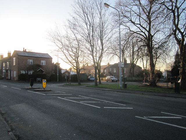
Image: © Peter Turner Taken: 13 Jan 2012
B5086 Knutsford Road exits left towards Knutsford and Wilmslow centre is behind us. A separate hamlet/village up to the 19th century when the arrival of the railway at Wilmslow probably sealed its fate.
Images are licensed for reuse under creativecommons.org/licenses/by-sa/2.0
Image Location
Latitude
53.312885
Longitude
-2.253765