Farm buildings at Low West House
Introduction
The photograph on this page of Farm buildings at Low West House by Trevor Littlewood as part of the Geograph project.
The Geograph project started in 2005 with the aim of publishing, organising and preserving representative images for every square kilometre of Great Britain, Ireland and the Isle of Man.

There are currently over 7.5m images from over 14,400 individuals and you can help contribute to the project by visiting https://www.geograph.org.uk
Farm buildings at Low West House
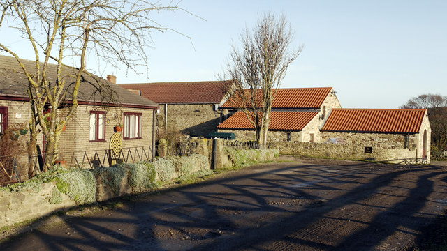
Image: © Trevor Littlewood Taken: 13 Jan 2012
Low West House is a farm in the upper Deerness Valley. The bungalow to the left of the image seems to be a relatively recent addition - it's not shown presently on OS maps at all scales.
Images are licensed for reuse under creativecommons.org/licenses/by-sa/2.0
Image Location
Latitude
54.751783
Longitude
-1.780749