Lines south
Introduction
The photograph on this page of Lines south by Michael Dibb as part of the Geograph project.
The Geograph project started in 2005 with the aim of publishing, organising and preserving representative images for every square kilometre of Great Britain, Ireland and the Isle of Man.

There are currently over 7.5m images from over 14,400 individuals and you can help contribute to the project by visiting https://www.geograph.org.uk
Lines south
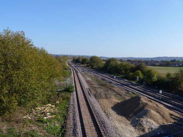
Image: © Michael Dibb Taken: 15 Oct 2011
The view from the bridge carrying Buckle Street over the railway in Honeybourne, looking southeast. The recently redoubled London to Worcester main lines are to the right. The line on the left leads to Central Engineer Park, the government storage depot at Long Marston. This line will also serve the preserved Gloucestershire Warwickshire Railway.
Images are licensed for reuse under creativecommons.org/licenses/by-sa/2.0
Image Location
Latitude
52.101146
Longitude
-1.831336