Bridleway into Childpit Lane
Introduction
The photograph on this page of Bridleway into Childpit Lane by Richard Law as part of the Geograph project.
The Geograph project started in 2005 with the aim of publishing, organising and preserving representative images for every square kilometre of Great Britain, Ireland and the Isle of Man.

There are currently over 7.5m images from over 14,400 individuals and you can help contribute to the project by visiting https://www.geograph.org.uk
Bridleway into Childpit Lane
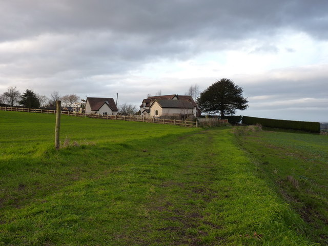
Image: © Richard Law Taken: 7 Jan 2012
Childpit Lane - a small collection of rural cottages and farm buildings, normally accessed via a track from the Lilleshall Hall drive, but also from the SW via this bridleway.
Images are licensed for reuse under creativecommons.org/licenses/by-sa/2.0
Image Location
Latitude
52.733429
Longitude
-2.363231