Unmanned Level Crossing, Seghill
Introduction
The photograph on this page of Unmanned Level Crossing, Seghill by Christine Westerback as part of the Geograph project.
The Geograph project started in 2005 with the aim of publishing, organising and preserving representative images for every square kilometre of Great Britain, Ireland and the Isle of Man.

There are currently over 7.5m images from over 14,400 individuals and you can help contribute to the project by visiting https://www.geograph.org.uk
Unmanned Level Crossing, Seghill
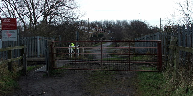
Image: © Christine Westerback Taken: 8 Jan 2012
This crossing separates the few houses at Mares Close, Seghill with many footpaths which lead to Cramlington and Seaton Delaval - taken on a dull day!
Images are licensed for reuse under creativecommons.org/licenses/by-sa/2.0
Image Location
Latitude
55.069065
Longitude
-1.544444