Range of old farmyard buildings at Lower Farm, Ford
Introduction
The photograph on this page of Range of old farmyard buildings at Lower Farm, Ford by Jeremy Bolwell as part of the Geograph project.
The Geograph project started in 2005 with the aim of publishing, organising and preserving representative images for every square kilometre of Great Britain, Ireland and the Isle of Man.

There are currently over 7.5m images from over 14,400 individuals and you can help contribute to the project by visiting https://www.geograph.org.uk
Range of old farmyard buildings at Lower Farm, Ford
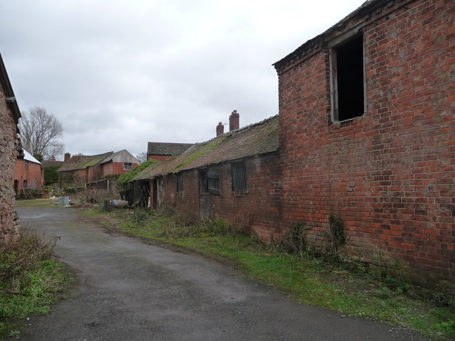
Image: © Jeremy Bolwell Taken: 4 Jan 2012
My god these buildings, and indeed the whole farm, have seen better days. Ripe for residential conversion I would think.
Images are licensed for reuse under creativecommons.org/licenses/by-sa/2.0
Image Location
Latitude
52.717593
Longitude
-2.867923