All Saints, Pocklington
Introduction
The photograph on this page of All Saints, Pocklington by Gordon Hatton as part of the Geograph project.
The Geograph project started in 2005 with the aim of publishing, organising and preserving representative images for every square kilometre of Great Britain, Ireland and the Isle of Man.

There are currently over 7.5m images from over 14,400 individuals and you can help contribute to the project by visiting https://www.geograph.org.uk
All Saints, Pocklington
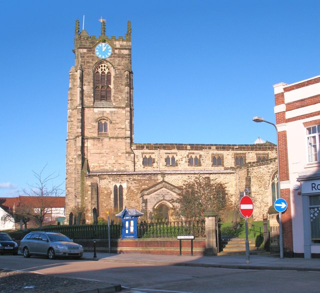
Image: © Gordon Hatton Taken: 2 Jan 2012
Large town church with a 37m high west tower. The tower is late 14th or early 15th century, but the bulk of the church is mostly 13th century.
Images are licensed for reuse under creativecommons.org/licenses/by-sa/2.0
Image Location
Latitude
53.930474
Longitude
-0.779875