Junction of Cycle Route 5 and Hobbyhorse Lane
Introduction
The photograph on this page of Junction of Cycle Route 5 and Hobbyhorse Lane by Roger Templeman as part of the Geograph project.
The Geograph project started in 2005 with the aim of publishing, organising and preserving representative images for every square kilometre of Great Britain, Ireland and the Isle of Man.

There are currently over 7.5m images from over 14,400 individuals and you can help contribute to the project by visiting https://www.geograph.org.uk
Junction of Cycle Route 5 and Hobbyhorse Lane
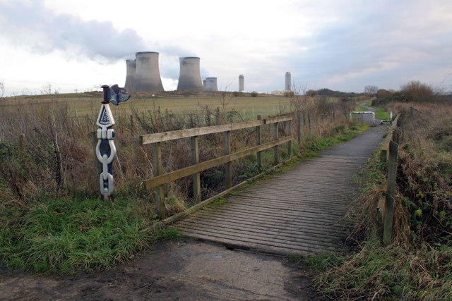
Image: © Roger Templeman Taken: 22 Dec 2011
The National Cycle Network Route 5 finger post reads Didcot 2.75m, Sutton Courtenay 0.25m. The cooling towers and chimney stacks of Didcot Power Stations in the background.
Images are licensed for reuse under creativecommons.org/licenses/by-sa/2.0
Image Location
Latitude
51.634102
Longitude
-1.273617