Mossland, Irlam, Manchester
Introduction
The photograph on this page of Mossland, Irlam, Manchester by Keith Williamson as part of the Geograph project.
The Geograph project started in 2005 with the aim of publishing, organising and preserving representative images for every square kilometre of Great Britain, Ireland and the Isle of Man.

There are currently over 7.5m images from over 14,400 individuals and you can help contribute to the project by visiting https://www.geograph.org.uk
Mossland, Irlam, Manchester
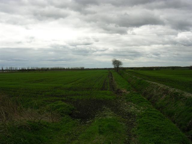
Image: © Keith Williamson Taken: 11 Apr 2005
The moss here is mostly reclaimed as farmland. It shows a drainage ditch typical of this type of land. The picture was taken from the minor road that just enters the NE corner of the square (SJ 709 939) and shows the view to the SW, where the plantation of New Moss Wood has been created. This being part of the Red Rose Forest project (see www.redroseforest.co.uk for info.)
Images are licensed for reuse under creativecommons.org/licenses/by-sa/2.0
Image Location


Leaflet Map data © OpenStreetMap
Latitude
53.437445
Longitude
-2.44553