Benchmark on the A38 bridge
Introduction
The photograph on this page of Benchmark on the A38 bridge by Neil Owen as part of the Geograph project.
The Geograph project started in 2005 with the aim of publishing, organising and preserving representative images for every square kilometre of Great Britain, Ireland and the Isle of Man.

There are currently over 7.5m images from over 14,400 individuals and you can help contribute to the project by visiting https://www.geograph.org.uk
Benchmark on the A38 bridge
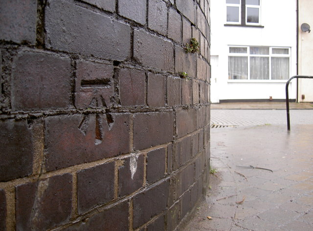
Image: © Neil Owen Taken: 19 Dec 2011
The bricks are part of the railway bridge built in 1933 - the A38 road carries over the important tracks below. The cutmark is listed in the Benchmark Database: http://www.bench-marks.org.uk/bm40585 . See Image] for a broader view.
Images are licensed for reuse under creativecommons.org/licenses/by-sa/2.0
Image Location
Latitude
51.431993
Longitude
-2.611737