West Wickham Village Sign (close-up)
Introduction
The photograph on this page of West Wickham Village Sign (close-up) by David Anstiss as part of the Geograph project.
The Geograph project started in 2005 with the aim of publishing, organising and preserving representative images for every square kilometre of Great Britain, Ireland and the Isle of Man.

There are currently over 7.5m images from over 14,400 individuals and you can help contribute to the project by visiting https://www.geograph.org.uk
West Wickham Village Sign (close-up)
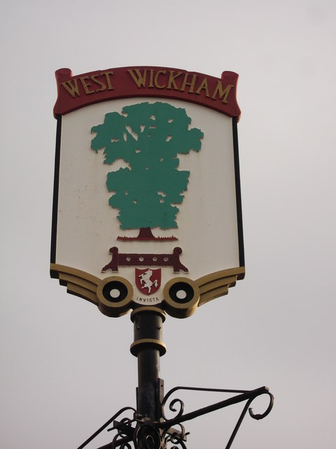
Image: © David Anstiss Taken: 18 Dec 2011
A close-up of the sign seen in Image Below the tree, is Invicta - the prancing horse symbol of Kent. West Wickham until the 1960's was part of the County of Kent, but has now been absorbed into the London Borough of Bromley.
Images are licensed for reuse under creativecommons.org/licenses/by-sa/2.0
Image Location
Latitude
51.376037
Longitude
-0.014315