Up the Creek...
Introduction
The photograph on this page of Up the Creek... by David Wright as part of the Geograph project.
The Geograph project started in 2005 with the aim of publishing, organising and preserving representative images for every square kilometre of Great Britain, Ireland and the Isle of Man.

There are currently over 7.5m images from over 14,400 individuals and you can help contribute to the project by visiting https://www.geograph.org.uk
Up the Creek...
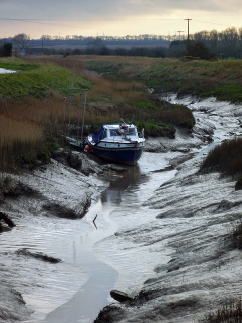
Image: © David Wright Taken: 15 Dec 2011
It's unusual to see any craft south of the railway bridge but the owners of adjoining properties do have riparian rights. The boat is named "Scrubber".
Images are licensed for reuse under creativecommons.org/licenses/by-sa/2.0
Image Location
Latitude
53.695992
Longitude
-0.393767